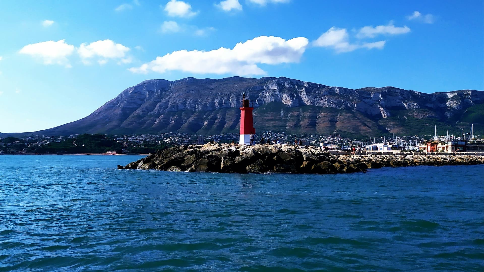
Cala de la Mina (Albir, l'Alfàs del Pi)
Cala de la Mina: the hidden cove below the Albir lighthouse
Cala de la Mina is the most remote of the three coves of Albir (l’Alfàs del Pi), inside the Serra Gelada Natural Park. It lies at the foot of the cliffs that carry the Albir lighthouse, and takes its name from the old ochre mines worked on this hillside. It can only be reached on foot or by sea, has no facilities at all, and its 250 metres of rock and boulders are rarely crowded. It is the reward at the end of the park’s most popular trail.
How to get to Cala de la Mina
By car: from Albir follow Camí del Far to the entrance of the Natural Park, where there are two free car parks (one paved, one gravel). In high season they fill by mid-morning; if full, park in the urbanisation and walk up.
On foot from the car park: take the Lighthouse Route (Ruta del Faro), a 2.5 km paved track closed to motor traffic and awarded Sendero Azul (Sendero Azul) status since 2013. Before the lighthouse, a signposted turn-off drops to the cove along a steep dirt path with loose stones. It is about 2.4 km from the car park (5 km round trip; 6.2 km if you also go up to the lighthouse), 20 to 30 minutes down. The difficulty is moderate to high on the final stretch: wear hiking shoes and bring water shoes for the cove. Avoid it after rain, when the loose earth is slippery.
By sea: from Albir beach it is about 2 km by kayak or paddleboard, the most comfortable way to arrive with a cooler and a parasol.
What you’ll find
A strip of about 250 metres of rock and large boulders, barely 4 metres wide, wedged below the cliff. The water is deep and very clear, with posidonia meadows and a rocky bottom: one of the best snorkelling spots in the Marina Baixa. Low occupancy even in August, precisely because you have to earn it.
Facilities: none. No lifeguard, no showers, no bins, no bar. Only the cleaning service comes by. Carry all your rubbish back up. There is very little shade; in summer, go early.
Nudism: the three Albir coves (Amerador, Metge and Mina) have a naturist tradition, although none has official designation. The atmosphere is quiet and respectful.
No anchoring: a protected cove
Since April 2015 the l’Alfàs del Pi town council has banned motor boats and jet skis from the cove to protect the posidonia, with a 1,592-metre line of buoys 200 metres offshore as far as the lighthouse point. Snorkelling, diving, kayaking and paddleboarding are allowed. The park also maintains eco-mooring buoys between Benidorm Island, Illa Mitjana and the cove itself (one boat per buoy; not recommended with more than 15 knots of wind).
Natural Park rules
- Dogs on a lead along the whole route
- No smoking, no fires
- Bicycles and scooters only between 10:00 and 20:00 on the lighthouse track
- Do not enter the ochre mine galleries: they are unstable
Best time to visit
Spring and autumn are ideal for the walk: mild temperatures and clean light over Altea bay. In summer, start down before 9:00, both for the heat and for parking. The water is at its best from June to October.
What else to see nearby
- Albir lighthouse and its interpretation centre (opened 2011), at the end of the route
- Cala del Metge and Cala de l’Amerador, Albir’s two other, more accessible coves
- Torre Bombarda, a 16th-century watchtower beside the trail
- The Cova del Bou, visible from the viewpoint
- Altea, its old town and Albir beach, 10 minutes away: Altea guide
The southern side of the park, with Punta del Cavall and Benidorm’s coves, is covered in our Serra Gelada Natural Park article.
Practical information
| Location | Albir, l’Alfàs del Pi (Serra Gelada Natural Park) |
| Access | On foot, 2.4 km from the lighthouse car park (20–30 min); or by kayak |
| Difficulty | Moderate to high on the final descent |
| Seabed | Rock and boulders; posidonia |
| Length | 250 m × 4 m |
| Facilities | None |
| Parking | Two free car parks at the park entrance |
| Motor boats | Banned since 2015 |
| Nudism | Naturist tradition, not official |
| Best season | Spring and autumn; early morning in summer |