Benidorm
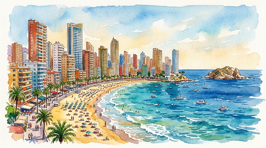
Benidorm: the anomaly of this coast
Benidorm has 77,327 inhabitants (INE, 2025) and reaches around 400,000 in summer. It is the third city in Spain by hotel rooms, after Madrid and Barcelona.
And it is an anomaly on this coast. Where its neighbours have pebble coves tucked under cliffs — Altea without a metre of sand, Xàbia with a single beach — here there are more than five kilometres of fine sand, fully equipped, with lifeguards, sunbeds, beach libraries and accessible bathing points. It is by far the most accessible coast in the Marina Baixa and the only one you can visit without a car, without planning and with a pushchair.
But it has a wild side too, and almost nobody mentions it: north of the Rincón de Loix, past the Tossal de la Cala, there are two rocky coves below the Serra Gelada Natural Park, with the island of Benidorm opposite and a marine reserve beneath.
Map of Benidorm
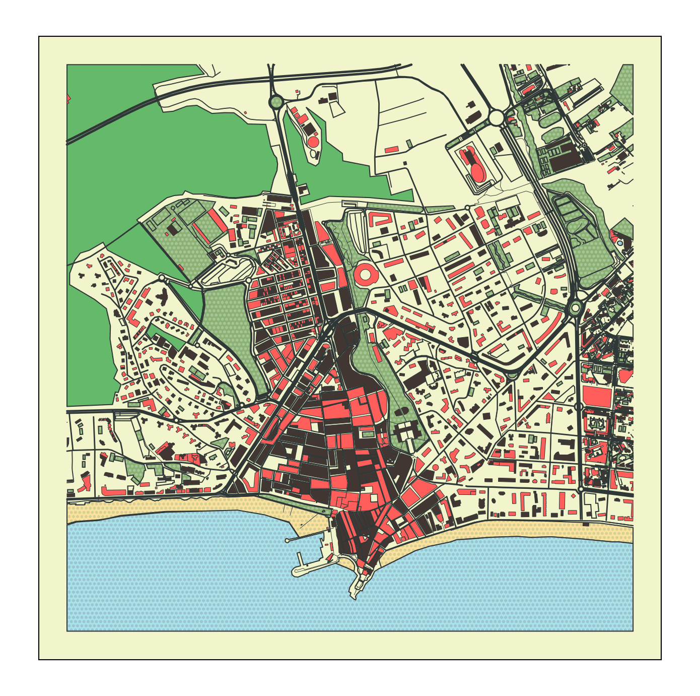
Topographic map of Benidorm: Levante to the east, Poniente to the west and the old town on the Cerro Canfali, between the two
Benidorm guides
- Benidorm beaches and coves — the 5 beaches and coves with lengths, 2026 Blue Flags, accessibility and the official snorkelling route
The beaches: five, and two Blue Flags
| Beach | Size | Blue Flag 2026 | What for |
|---|---|---|---|
| Playa de Levante | 2,000 × 40 m | ✅ | The buzz, sun all day |
| Playa de Poniente | 3,000+ m | ✅ | Space, families, quiet |
| Playa de Mal Pas | 120 m | ❌ (see below) | A swim from the old town |
| Cala de l’Almadrava | ~100 m | ❌ | Official snorkelling route |
| Cala del Tio Ximo | ~60 m | ❌ | Snorkelling and kayaking |
Levante is 2,000 metres of fine sand, 40 wide, the liveliest beach in Spain and — according to its own council — the best known in Europe. Blue Flag since 1987, revalidated in 2026. Its orientation gives it sun practically all day, and it has everything: floating platforms, a beach library, children’s play areas, shaded reading zones and an accessible bathing point on calle Murcia.
Poniente, at more than 3 kilometres, is the longest in the municipality and the quiet alternative: the same level of facilities, more space, a more family atmosphere. Blue Flag revalidated in 2026 and two accessible bathing points.
Mal Pas is the old town’s open secret: 120 metres sheltered by the Cerro Canfali, right below the Balcón del Mediterráneo. And here an honest note, because the idea circulates that it has lost quality: it held the Blue Flag from 1987 but did not apply in 2026, because of pending works to relocate the footbaths. It is not a water problem.
The island and the marine reserve
Opposite Mal Pas lies the island of Benidorm, which shelters an underwater platform called La Llosa, designated a marine reserve. It is the city’s diving spot par excellence, with boat trips from the port.
To the north, below the Serra Gelada Natural Park, the Cala de l’Almadrava has a signposted official snorkelling route, and the Cala del Tio Ximo is the kayaking one. Both are rock and sand, without the infrastructure of the big beaches, and they are the proof that Benidorm is not only high-rises.
The old town and the Balcón del Mediterráneo
On the Cerro Canfali, between the two beaches, the original village survives: cobbled streets, tapas bars and the church of San Jaime y Santa Ana, built between 1740 and 1780 after the appearance of the Virgen del Sufragio, the city’s patroness — which is why the patronal fiestas are held in her honour.
The Balcón del Mediterráneo, the viewpoint with the white balustrade at the tip of the hill, is where you take in both beaches and the skyline at once. It is the photograph of Benidorm.
Why Benidorm looks the way it does
In 1325, on 8 May to be precise, Bernardo de Sarriá granted the town charter: the founding act of the city, which for centuries remained a fishing village.
The transformation comes in the 1960s, with mayor Pedro Zaragoza and an urban plan that committed to building upwards. That decision — much debated then and now — concentrated the city vertically instead of spreading it along the shoreline, and it is why the municipality still holds the Serra Gelada Natural Park and the northern coves almost undeveloped. Benidorm was also the first Spanish city to receive the Smart Tourism Destination certificate.
Leisure: the four parks
Benidorm has the largest concentration of theme parks in the Valencian Community:
- Terra Mítica — ancient civilisations theme park
- Aqualandia — water park
- Terra Natura — zoo and nature park
- Mundomar — marine park
Check opening hours and season on their own websites: several close or reduce their calendar outside summer.
Fiestas: the real calendar
| Fiesta | When (2026) |
|---|---|
| Carnival | 14-18 February |
| Hogueras de San Juan | 20-24 June |
| Patronal: Virgen del Sufragio | 7-13 September |
| Costa Blanca Bike Week | 6-11 October |
| Costa Blanca Marathon | 15 November |
The September patronal fiestas, in honour of the Virgen del Sufragio, are the big ones. Benidorm’s Carnival is among the most crowded in the province.
Getting there and getting around
- By TRAM: Benidorm is the hub of line 9, linking to Altea, Calp and Dénia to the north, and to Alicante via line 1. It is the easiest town on this coast to reach without a car
- By car: the AP-7 or N-332. About 45 minutes from Alicante airport
- By bus: a station with national connections; and line 016 of Llorente Bus climbs to Guadalest via La Nucía and Polop
- Within the city: a dense urban network, and the promenade links both beaches on foot
When to come
- May, June and September: the best of the beach without the August peak
- Out of season: Benidorm is one of the few destinations on this coast that works all year, with hotels and restaurants open in January. That is its real advantage over its neighbours
- July and August: everything open and everything full
- September: the patronal fiestas
What’s nearby
- The Serra Gelada Natural Park, between Benidorm and Altea
- The Punta del Cavall with its watchtower, and the Puig Campana inland
- The Cala de Finestrat, just over the municipal boundary
- To the north, Altea
- All the coves of the Costa Blanca, the index by municipality
Places in Benidorm
📖 Guides to Benidorm
- Benidorm Beaches and Coves: Complete Guide 2026 The 5 beaches and coves of Benidorm: Levante, Poniente, Mal Pas and the Tio Ximo and Almadrava coves. Lengths, 2026 Blue Flags, accessibility, snorkelling and Benidorm Island with the La Llosa marine reserve.