Moraira
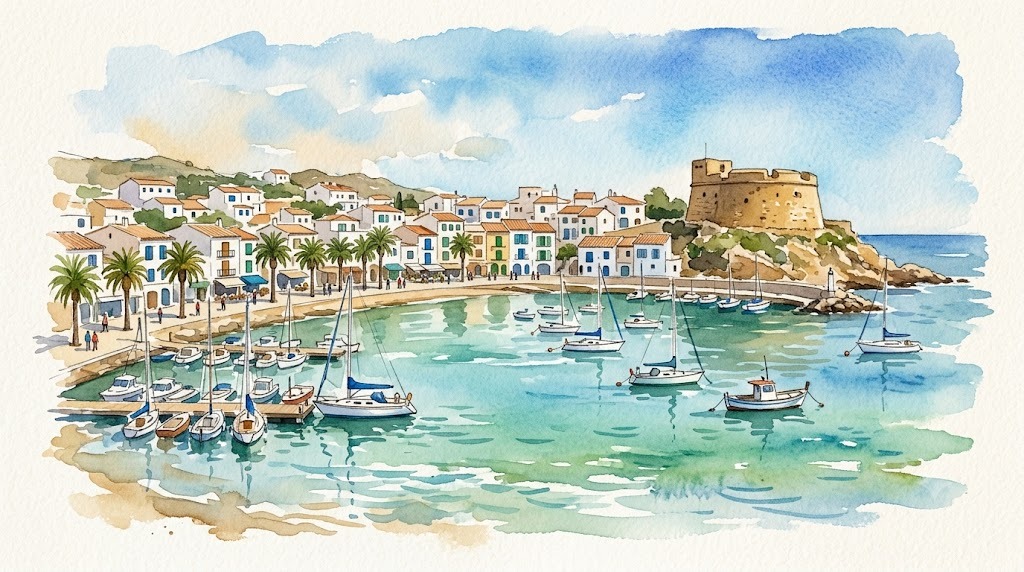
Moraira: the coastal half of Teulada
First things first, because almost no guide makes it clear: Moraira is not a municipality. It is the coastal nucleus of Teulada, a municipality of 12,912 inhabitants (INE, 2025) with two separate centres: Teulada, inland, and Moraira, on the coast. That is why the official name you see on the signposts and in the fiesta programmes is Teulada-Moraira.
Understanding that organises the visit: the fiestas and the municipal services are split between the two centres, and their dates do not always coincide.
Teulada-Moraira has 8 kilometres of coast between the Cap d’Or and Cala Llebeig, and one quirk that sets it apart from its neighbours: there is real fine sand here — l’Ampolla and El Portet — which is rare in the Marina Alta, alongside pebble and rock coves with excellent snorkelling.
Map of Moraira
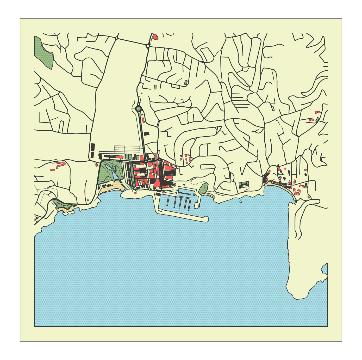
Topographic map of Moraira: the port and the castle in the middle, l’Ampolla to the west and El Portet and the coves to the east
Moraira guides
- Moraira beaches and coves — the seven beaches and coves of Teulada-Moraira, with access, facilities and snorkelling
- Marina Alta summer fiestas — Moraira’s Moros i Cristians and the Carmen patronal fiestas, with day-by-day programmes
The castle, and a precise date
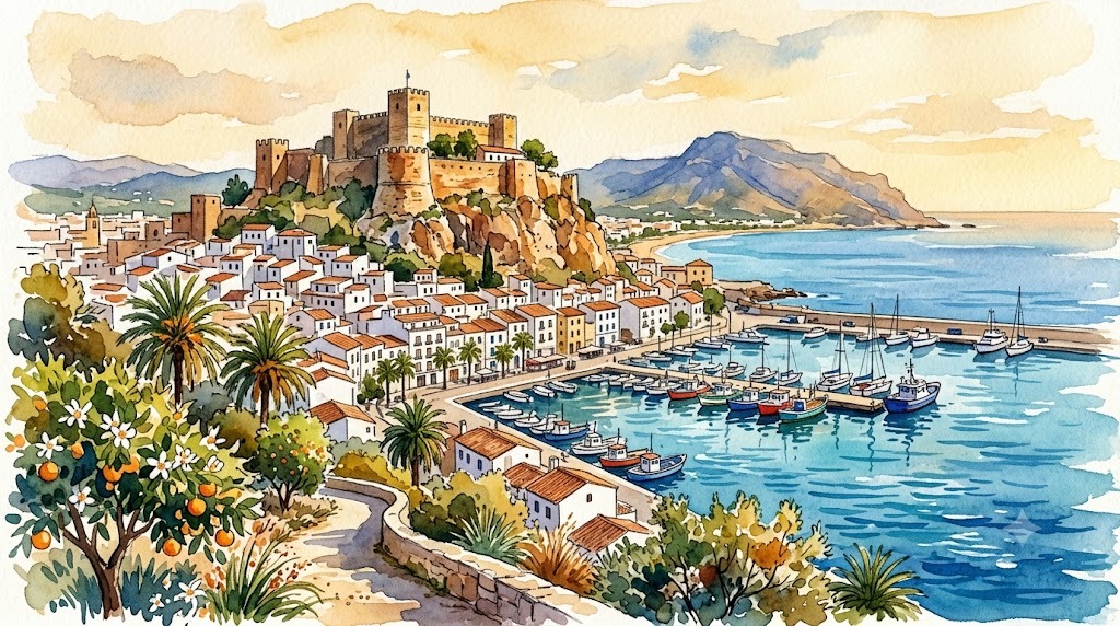
The castle of Moraira sits at the very foot of the main beach, and it is the town’s emblem. It was built in the 18th century to defend the coast from Barbary raids, and there is a fairly precise date: the royal Bourbon coat of arms above the entrance door is dated 1742, possibly the year the work was completed.
It is small, well preserved, and from it you see the whole bay.
The seven beaches and coves
North to south, following the line of the coast:
| Beach / cove | What it is |
|---|---|
| Cala Llebeig | The northern end, on the Benitatxell boundary |
| Cala del Portitxolet | Small and rocky |
| Cala de l’Andragó | Pebbles and rock, good snorkelling |
| Cap Blanc | A sheltered cove among pines |
| Playa del Portet | Fine sand in a closed bay: always calm water |
| Les Platgetes | A chain of small coves |
| Playa de l’Ampolla | The main one: fine sand, next to the castle and the port, all facilities |
The detail on each is in the beaches guide.
If you have read about a “Cala del Charco” or a “Playa del Bol Vell” in Moraira, they do not exist: they were inventions that circulated through automatically generated guides — this one included, in its previous version.
The port and the Cap d’Or
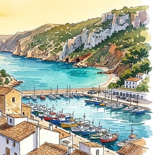
The marina sits beside l’Ampolla beach, with a sailing club, a sailing school and boat hire. It is the centre of the municipality’s nautical life.
And to the north, the Cap d’Or, with the path that climbs to the top. One warning, because this is often got wrong: what stands up there is a watchtower, not a lighthouse. It was built in the 16th century following the report of the architect J. B. Antonelli to defend the coast against Barbary pirates, and the path offers the best views in the municipality.
Food
- Catch of the day around the port
- Rice dishes: paella, arròs a banda, black rice
- Mediterranean cooking, with a notable range for the size of the place, thanks to the strong European resident population
- The Teulada-Moraira Municipal Market, for fresh produce
Fiestas: the real calendar
The fiestas are split between the two centres, so it is worth checking which one you are after:
| Fiesta | Centre | When (2026) |
|---|---|---|
| Patronal: Sant Vicent Ferrer | Teulada | 23 April – 4 May |
| Moros i Cristians | Moraira | 5-14 June |
| Patronal: Virgen del Carmen | Moraira | 3-19 July |
| Medieval Market | Teulada | 6-9 August |
Teulada’s are the Sant Vicent Ferrer fiestas, in spring. Moraira’s are those of the Virgen del Carmen, in July, with the seafaring character you would expect of a port town, plus the Moros i Cristians in June.
Getting there and getting around
- By car: the AP-7 or N-332 and then the CV-743. From Alicante airport, about 85 km and around an hour. From Valencia, an hour and a half
- By TRAM: it does not reach here. The nearest line 9 stop is Calp, and from there you need to combine with a bus or taxi
- By bus: connections with Teulada, Calp and Dénia
- Between the two centres: there are about 6 km between Teulada and Moraira. With a car it is immediate; without one, check the local bus timetable
When to come
- June and September: warm water without the August crowds
- July: the Carmen patronal fiestas, Moraira’s big ones
- Out of season: the town keeps a fair amount of activity thanks to its European residents, more than other places of its size
- August: l’Ampolla and El Portet fill up; the rock coves cope better
What’s nearby
- To the south, Benissa and its six coves, and Calpe with the Peñón
- To the north, Jávea and, in Benitatxell, the Cala del Moraig
- All the coves of the Costa Blanca, the index by municipality
Places in Moraira
📖 Guides to Moraira
- Moraira Beaches and Coves (Teulada): Complete Guide 2026 The 7 beaches and coves of Teulada-Moraira, north to south: l'Ampolla, les Platgetes, el Portet, Cap Blanc, l'Andragó, el Portitxolet and Cala Llebeig. Size, seabed, facilities, parking and snorkelling, with official data.